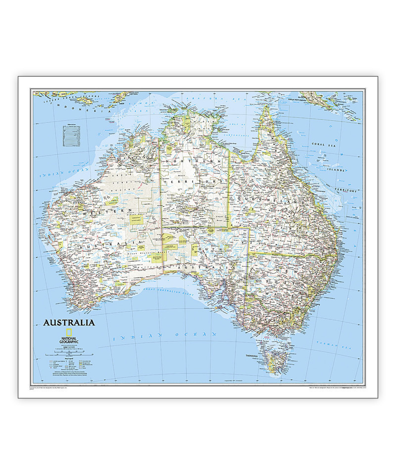
National Geographic’s wall map of Australia is one of the most authoritative maps of the "Land Down Under." The Classic style map uses a bright color palette featuring blue oceans and stunning shaded relief that has been a signature of National Geographic wall maps for over 75 years. This map features thousands of place names, including primary and secondary towns, accurate boundaries, parks and protected areas, aboriginal lands, and transportation infrastructure such as airports and highways. Australia’s famous coastal reefs including the extraordinary Great Barrier Reef are shown as well. Coverage also includes Tasmania and the Coral Sea Islands.
The map is encapsulated in heavy-duty 1.6 mil laminate which makes the paper much more durable and resistant to the swelling and shrinking caused by changes in humidity. Laminated maps can be framed without the need for glass, so the frames can be much lighter and less expensive.
- Expertly researched and designed, National Geographic's Australia Wall Map is the authoritative map of Asia by which other reference maps are measured.
- Signature Classic style map with bright, easy to read color palette with blue oceans and colorful borders
- Clearly defined international boundaries, cities, islands, airports, and physical features
- The map is encapsulated in heavy-duty 1.6 mil laminate which makes the paper much more durable and resistant to the swelling and shrinking caused by changes in humidity.
- Measures 30.25" x 27"


